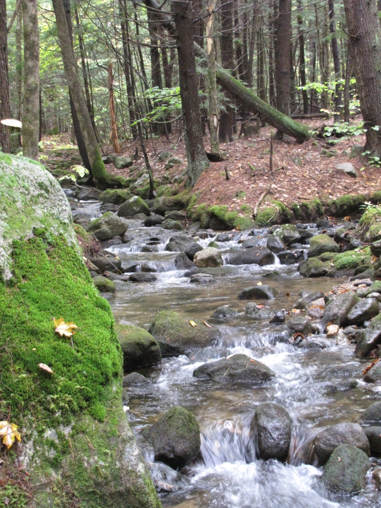
A conservation easement on 65.36 acres was granted by the Kezar Conservation Group LLC on January 11, 2010. This group then sold the property to the Town of Sutton to be managed by their Conservation Commission. The property is now known as the Maple Leaf Natural Area. Bordering 227 feet of frontage along Kings Hill Road, this easement protects primarily forest. Because the property is visible from Lyon Brook and Hominy Pot Road, this part of the view of the southeast face of King Hill will continue to stay rural and undeveloped.
The property adds to 786 acres of already conserved land in the immediate area – including King Hill Reservation, Enroth and Putnam easements (all protected by Ausbon Sargent), as well as the Society for the Protection of New Hampshire Forests’ Bristol easements. The New Hampshire Wildlife Action Plan ranks approximately 1% of the property as “Highest Ranking Habitat” in the state and 66% of the property as supportive of that high ranking habitat. In addition to wildlife habitat protection, the easement protects the watersheds of both Lyon Brook and Kezar Lake. Public access is allowed for pedestrian activities. This property was originally part of an approved 11 lot subdivision.
Since the property has been conserved, the Town of Sutton has constructed a recreational parking area (a right the landowner reserved in the conservation easement) which is adjacent to Kings Hill Road.
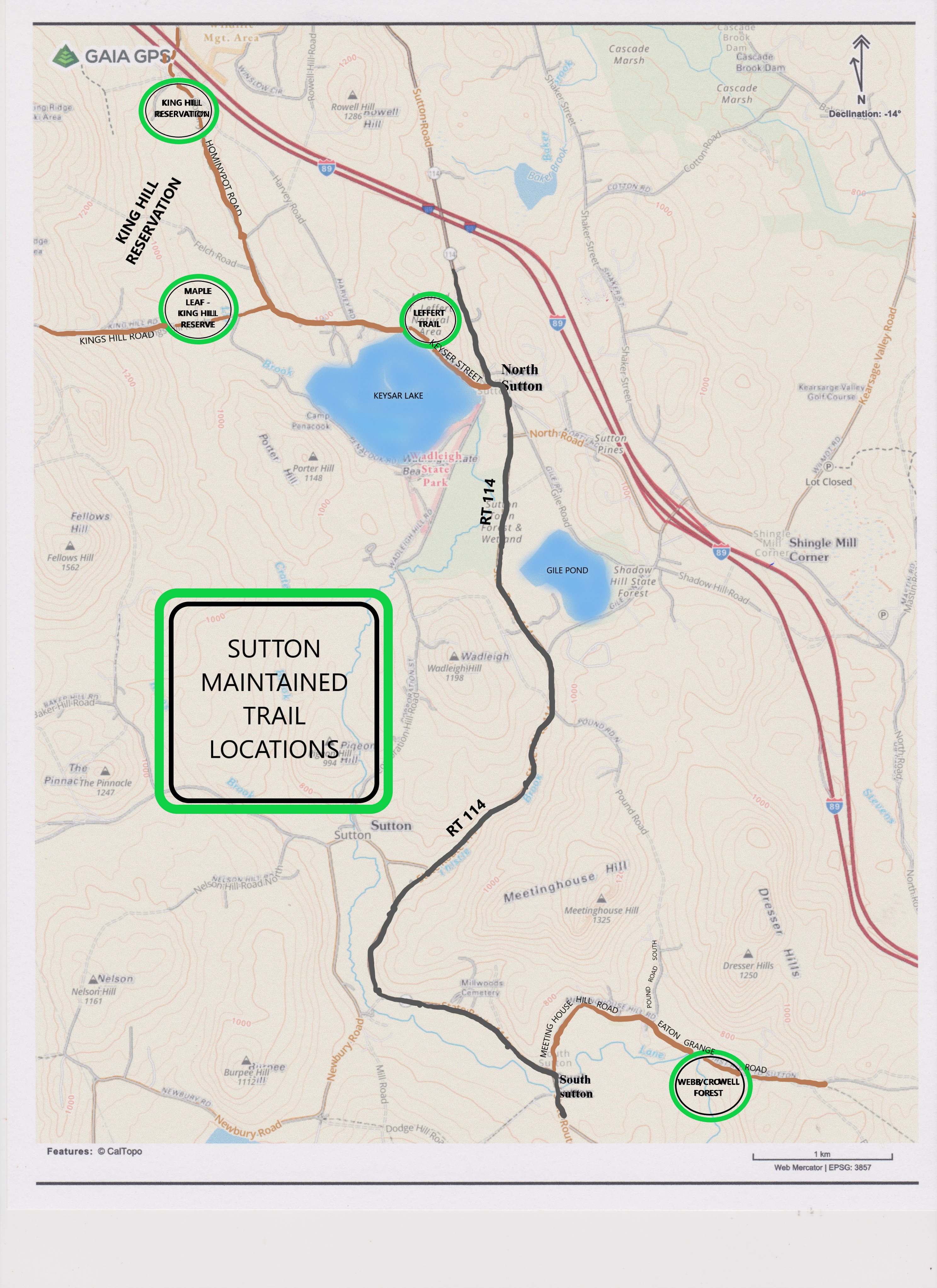
To see a map of the trails in Sutton, please click HERE.